The Peninsular India (India’s Geographical Division)-प्रायद्वीपीय भारत (भारत का भौगोलिक प्रभाग)
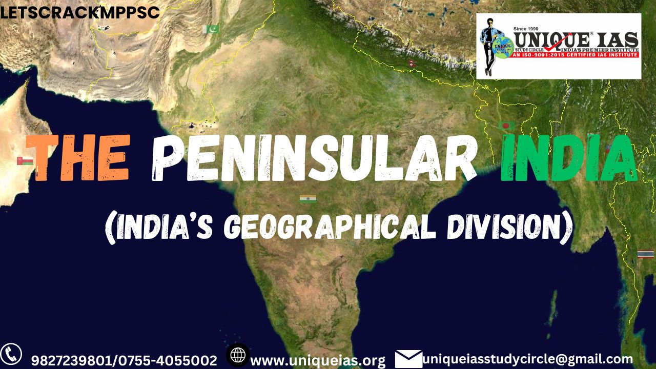
The triangular shaped Peninsular Plateau of India extends from the south of Indo-Ganga Plain to the Cape Comorin. Since, this portion is covered from 3 sides by water, hence it is known as Peninsular. It consists of following areas:-
1] Plateau of Malwa –
2] Plateau of Deccan –
1] Plateau of Malwa –
Because of fertility (Mal), it is known as Malwa. Indore, Ujjain, Devas, Raisen, Vidisha etc are found here. Black cotton soil is found here. There is good wheat production, hence it is also known as Wheat Sack.
-Vindhyachal Ranges:-
Because of Vindhya tribe, it is known as Vindhyachal. It is a residual mountain. The world famous ‘Bhim Bhaithika’ is it’s part. They are believed to have been formed by the wastes created by the weathering of the ancient Aravali mountains.
Geographically, it separates northern India from southern India.
The western end of the range lies in eastern Gujarat, near its border with Madhya Pradesh, and runs east and north, almost meeting the Ganges at Mirzapur.
-Satpura Ranges:
"Shatpura" (Devnagari: शतपुरा), which means "Hundred/ seven Mountains." -Satpura is the youngest mountain as Himalayas are (3 crore yrs back, alpine age).
These are fold and fault mountains. Sea fossils are found at the top. There length is 900 kms.
The range rises in eastern Gujarat state running east through the border of Maharashtra and Madhya Pradesh to the east till Chhattisgarh. The range rises in eastern Gujarat state running east through the border of Maharashtra and Madhya Pradesh to the east till Chhattisgarh.
A Horst mountain -
The Satpura Range is…… a horst mountain (raised fault block )and is flanked by Narmada Graben in the north and much smaller but parallel Tapi Graben in the south.
Dhoop Gadh –
Central India’s highest peak belongs to Satpura at Pachmari (Dist. Hoshangabad) known as Dhoop Gadh (1352m). Pachmari is known as “Queen of Satpura”.
Horsts are parallel blocks that remain between graben; the bounding faults of a horst typically dip away from the center line of the horst. Single or multiple graben can produce a rift valley.
-Maikal Ranges:-
Narmada & Son river comes out from here. The famous tourist place Amarkantak, Dist. Anupur) is the origin of above rivers.
-Aravali Range:-
They spread from Rajasthan to Delhi. The Aravalli Range is a range of mountains running approximately 692 km (430 mi) in a southwest direction, starting in North India from Delhi and passing through southern Haryana, through to Western India across the states of Rajasthan and ending in Gujarat. Ara" and "vali", literally means the "line of peaks".
These are the oldest mountains of the world (61 crore yrs back, Pre Cambarian Age). Its highest Peak is Guru Shikhar (1722m), dist-Sirohi.
They extend approximately 800 km (497 mi). The Aravali Range is the…… eroded stub (remnant) of an ancient fold mountain system. The range rose in a Precambrian event called the Aravali–Delhi orogen.
The range joins two of the ancient segments that make up the Indian craton, the Marwar (South West of Aravalis) segment to the northwest of the range, and the Bundelkhand segment to the southeast.
-The Great Indian Desert:-
It is 644 km long & 360 km in breadth.
It is Asia’s 2nd largest Desert. About 10 percent of this region comprises sand dunes, and the remaining 90 percent consist of craggy rock forms, compacted salt-lake bottoms, and interdunal and fixed dune areas. Annual temperatures can range from 0°C in the winter to over 50°C during the summer.
-Run of Kachchha:-
Because of Marshy land. It is known as Run. It is India’s largest Marshy land. It is famous for wild ass. Rann means "salt marsh". Kutch is the name of the district in Gujarat where this region is situated.
The Great Rann of Kutch is a salt marsh located in the Thar Desert in the Kutch District of Gujarat, India. It is about 7,505.22 square kilometres (2,897.78 sq mi) in size and is reputed to be one of the largest salt deserts in the world.
The area was a vast shallow of the Arabian Sea until continuing geological uplift closed off the connection with the sea.
In India's summer monsoon, the flat desert of salty clay and mudflats, which average 15 meters above sea level, fills with standing water. In very wet years, the wetland extends from the Gulf of Kutch on the west through to the Gulf of Cambay on the east.
This area has been inhabited by the Kutchi people.
-Plateau of Chota nagpur:-
Currently it is in the state of Jharkhand. It is the richest plateau as per mineral wealth is concerned.
Broadly, above areas are a part of plateau of Malwa.
|
Mountain ranges by length
|
2] Plateau of Deccan –
It is also a part of Peninsular. This part starts from the South of Tapi river.
Under Deccan Plateau, Western & Eastern Ghats are there.
-Western Ghats –
These Ghats start from Tapi & finish till Kanyakumari.
It’s length is 1600 km long. They are also known as Sahadari (Benevolent mountains) .
It is a UNESCO World Heritage Site and is one of the eight "hottest hot-spots" of biological diversity in the world. The average elevation is around 1,200 m.
Faulted edge of the Deccan plateau –
The Western Ghats are not true mountains, but are the….. faulted edge of the Deccan plateau.
They are believed to have been formed during the break-up of the super continent of Gondwana some 150 million years (mya) ago.
The west coast of India came into being somewhere around 100 to 80 mya after it broke away from Madagascar.
After the break-up, the western coast of India would have appeared as an abrupt cliff some 1,000 metres in height.
|
Q-Which hills are Ajanta caves located in? Ans-Ajanta caves are located in the Sahyadri ranges (Western Ghats). These are a series of rock-cut caves on Waghora river near Aurangabad in Maharashtra. |
|
Why Western Ghats are regions of hotspot of Biodiversity ? IAS Exam. Three of the following criteria have contributed to the recognition of Western Ghats-Sri. Lanka and Indo-Burma regions as hotspots of biodiversity: 1. Species richness 3. Endemism 5.Threat perception (IAS exam 2011) |
|
What is Endemism ?
-Endemism is the ecological state of being unique to a defined geographic location, such as an island, nation or other defined zone, or habitat type; organisms that are indigenous to a place are not endemic to it if they are also found elsewhere.
-For example, all species of lemur are endemic to the island of Madagascar; none are native elsewhere. The extreme opposite of endemism iscosmopolitan distribution.Physical, climatic, and biological factors can contribute to endemism. -The Orange-breasted Sunbird is exclusively found in the Fynbos vegetation zone of southwestern South Africa. |
The main passes of Western Ghats are –
Bhor Ghat – [Maharashtra] –
Bhor Ghat or Bor Ghat, Bhore Ghaut, is a mountain passage located between Karjat and Khandala in Maharashtra, India along the railway line and between Khopoli
and Khandala. The Ghat opened Mumbai to the Deccan plains of Peninsular India.
Situated on the crest of the Western Ghat mountain ranges, Bhor Ghat is noted for its surroundings comprising scenic waterfalls, lakes and dense woods.
Bhor Ghat was an important trade route in the past and was one of the three main ghats (mountain passes) developed by the Satavahanas to move the goods from the merchant ships from Syria and Egypt to their capital Paithan. The ports of Karanja and Rajapuri were connected to the ghat.
Later, Mountstuart Elphinstone and John Malcolm laid a railway line from Mumbai to Pune through Bhor Ghat, making it a rail route with 28 tunnels, old bridges and magnificent views. This Ghat opened Mumbai to the Deccan.
=Pal Ghat –
[Kerala] Palakkad (Malayalam:), formerly known as Palghat, is a municipality and a town in the state of Kerala in southern India, spread over an area of 26.60 km2.The city is situated about 350 kilometres (217 mi) north of state capital Thiruvananthapuram.
It is the administrative headquarters of Palakkad District. Palakkad lies near the Palghat Gap, a pass or natural depression through the Western Ghats ranges that run parallel to the west coast of India, and connects Kerala to the plains of the state of Tamil Nadu to the east.Kerala would have an IIT in Palakkad under the 12th five-year plan. The land belonging to the Instrumentation Limited in Palakkad was finally chosen for the project.Since the IITs are set up by an act of Parliament, the whole process is the centre's prerogative, and the state government has only a limited role.
-Jog Waterfall [Mahatma Gandhi Waterfall-
Garsoppa Water Fall in Karnataka at River Sharbati. It is one of the India’s tallest Waterfall (Height 250 m)
- Ooty –
At the foothills of Dodda Betta Ranges (Tamil Nadu) is Ooty.
- Hills of Nilgiri –
To the south of Dodda Betta, there are famous hills of Nilgiri in the state of Tamil Nadu.
The Nilgiri Hills, also known as the Nilagiri malai, are in northwestern Tamil Nadu.
The Nilgiri Hills are home to the hill station Ooty. The Bili giri rangana Betta southeast of Mysore in Karnataka, meet the Shevaroys (Servarayan range) and Tirumala range farther east, linking the Western Ghats to theEastern Ghats. In the South, the range is or Nilgiris in Tamil Nadu.
Anamandai –
The highest peak of Western Ghat is Anamandai (2700m).
South of the Palghat Gap are the Anaimalai Hills, in western Tamil Nadu and Kerala. Smaller ranges are further south, including the Cardamom Hills.
=Cardamam hills-
Southern most hills of western Ghats are Cardamam hills (Elaichi mountains,Tamil Nadu).
|
Where the Eastern and Western Ghats converge?(Asked several times) - Nilgiri Hills At the Nilgiri Hills, the Eastern and Western Ghats converge. They are separated by the Moyar River from the Karnataka Plateau to the north. |
|
Question asked in Exams- Q. The southernmost range of India is(MPPSC Exam) (a) Nilgri (b) Annamalai (c) Cardamome (d) Nallamalai ANSWER: (c) Cardamome hills Q. Which State of India touches maximum State boundaries?(MPPSC) (a) Madhya Pradesh (b) Karnataka (c) Andhra Pradesh (d) Uttar Pradesh ANSWER: (d) Uttar Pradesh , border with Nine states/ Union Territories. Q. Palk Strait is located between(MPPSC) (a) India and Pakistan (b) India and Bangladesh (c) India and SriLanka (d) India and Maldives ANSWER: (c) India and Sri Lanka Q.Which of the following regions is the original habitat of the “ Toda Tribe”?(MPPSC Exam) (a) Jaunsar Hills (b) Garo Hills (c) Nilgiri Hills (d) Jaintia Hills ANSWER-(c) Q. Which one of the following mountain ranges is spread over only one state in India?(MPPSC) (a) Aravali (b) Satpura (c) Ajanta (d) Sahyadri ANSWER-(c) |
|
Sahyandhris The another name of western Ghats ..major hill range starting from the north is the Sahyadhri (the benevolent mountains) range. This range is home to many hill stations like Matheran, Lonavala,Khandala, Mahabaleshwar, Panchgani, Amboli Ghat,Kudremukh and Kodagu. The range is called Sahyadri in northern Maharashtra,Karnataka and Sahya Parvatam in Kerala. |
=Kuttanad –
The lowest point of India is Kuttanad, Kerela−2.2 m (−7.2 ft).
Eastern Ghat –
These starts from Mahendragiri till the Nilgiri Mts.
Why Eastern Ghats are discontinued?
These Ghats are discontinued because the rivers originating from Western Ghat flow eastward erode this ghats & fall in the Bay of Bengal.
They have a length of 800 km. They have the hills of Mahendra Giri in Andhra Pradesh, Kadappa hills in A.P. & In south the hills of Tamil Nadu.
Eastern ghat are the Relict Mountain ranges like Aravalis which were formed in earlier periods and later on
denuded due to exo genetic forces like weathering .
- The highest peak of Eastern Ghats is the Jindhagada peak Andhra pradesh(1690 meters). It is also known as Arma Konda or Sitamma Konda.
- Three major lakes present are Chilka, Kolleru and Pulicat lakes.
Why Eastern Ghat receives less rainfall?
They receive less rainfall than the Western Ghats since they are parallel to the Bay of Bengal monsoon
The endemic fauna of the Eastern Ghats ?
The endemic fauna of the Eastern Ghats are the Jerdon's courser (Bird) and grey slender loris ( species of primate)
Highest Waterfall in India-Kempty Falls – is a waterfall in Ram Gaon and at the south of Kempty, in the Tehri Garhwal District of Uttarakhand, India. It is 13 kilometres from Mussoorie on the Chakrata Road, and 45 kilometres from Dehradun. It is nearly 1364 meters above sea level . Kunchikal Falls of Karnataka – the one of the Highest Waterfalls in India and also the second biggest waterfall in Asia, located in Agumbe which receives heavy rainfall and one of the wettest place in South India. The tallest waterfall of India with a height of 1,493 ft is located near Agumbe in Shimoga district of Karnataka. Agumbe valley is among the places in India that receive very heavy rainfall and it has the only permanent rain forest research station in India. -The India’s biggest waterfall is formed by the Varahi river and lies in the Western Ghats. The Ghats is well famous for its Giant Indian squirrel, Indian bullfrog and other unique birds, rare reptiles and bizarre wild animals. Nohkalikai Falls, Meghalaya – 340m (1115 feet)The Nohkalikai falls is one of the tallest waterfalls in India. It is located near Cherrapunji, one of the wettest places on Earth in East Khasi Hills district Meghalaya. The 3rd highest waterfalls in India with a height of 1,120 ft. Cherrapunji is very famous for Hills, rainfall, living bridges and oranges. The other highest and popular waterfalls in Meghalaya are Nohsngithiang falls and Kynrem falls, These are also counted in top 10 highest water falls in India. Nohsngithiang Falls, Meghalaya – 315m (1,033 ft)The Nohsngithiang Falls at Meghalaya is one of the largest waterfalls in East Khasi hills district of Meghalaya. The falls formed immediately after the confluence of the diverged streams from a height of 1,033 ft. |


.jpg)
.jpg)
.jpg)
.jpg)
.jpg)


.jpg)
