OUR OCEANS -हमारे महासागर
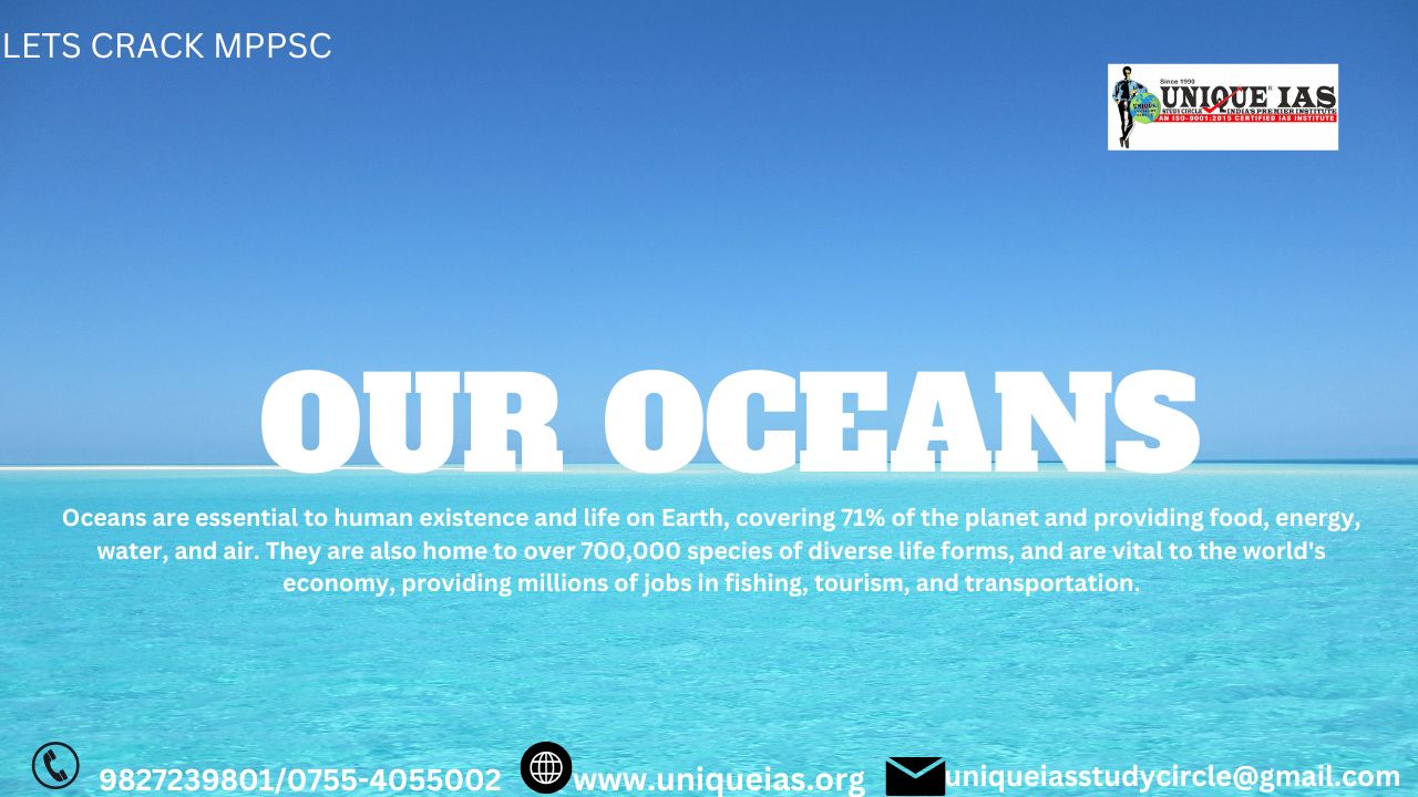
While there is only one global ocean, the vast body of water that covers 71 percent of the Earth is geographically divided into distinct named regions.
The ocean contains….97% of Earth's water.
Less than 3% is freshwater; the rest is saltwater, almost all of which is in the ocean.
Freshwater on Earth-
69% resides in glaciers, 30% underground, and less than 1% is located in lakes, rivers, and swamps.
|
Q. With reference to the water on the planet Earth, consider the following statements:(IAS Exam-2021) Ans) b Exp) Option b is correct. Statement 1 is incorrect. The amount of water in rivers and lakes is less than amount of groundwater Statement 2 is correct. Of the total freshwater, 69% resides in glaciers and 30% underground. Polar ice caps and glaciers has more water than groundwater |
Salinity
A zone of rapid salinity increase with depth is called a halocline.
Oceanic waters in polar regions have lower salinity content than oceanic waters in temperate and tropical regions.
The chlorinity-
Salinity can be calculated using the chlorinity, which is a measure of the total mass of halogen ions (includes fluorine, chlorine, bromine, and iodine) in seawater.
The average chlorinity is about 19.2‰, and, thus, the average salinity is around 34.7‰.
Hydrometers are used to measure the oceans salinity
Poles enjoy less levels of salinity -
The polar areas experience very little evaporation and receive large amounts of fresh water from the melting of ice.
This leads to low levels of salinity, ranging between 20 and 32.
Salinity changes with depth, but the way it changes depends upon the location of the sea.
Salinity at the surface –
Salinity at the surface increases by the loss of water to ice or evaporation, or decreased by the input of fresh waters, such as from the rivers.
Salinity at depth–much fixed
Salinity at depth is very much fixed, because there is no way that water is ‘lost’, or the salt is ‘added.’
There is a marked difference in the salinity between the surface zones and the deep zones of the oceans.
Salinity, generally, increases with depth and there is a distinct zone called the halocline (compare this with thermocline), where salinity increases sharply.
The salinity of the inland Seas and lakes is very high because of the regular supply of salt by ‘ the rivers falling into them.
Factors Affecting the Salinity of the Seawater-
There are many affecting factors such as the weather including evaporation, precipitation; rivers, winds, ocean currents, sea waves, and global warming.
1-Evaporation:
The rate of evaporation and salinity are positively related. It is observed that with higher the evaporation rate, the higher the salinity
2-Precipitation:
It is inversely proportional to salinity. Higher precipitation results in lower salinity and vice versa..
-The Influx of River Water:
Rivers reduce the salinity by diluting the salt concentration of the sea and ocean. If a number of rivers are flowing into a specific location of the ocean, then there is a high chance for low salinity.
3-Ocean Currents:
They affect the spatial distribution of ocean salinity. Oceanic currents affect the salinity by increasing and decreasing it. Oceanic currents have less impact on the enclosed sea’s salinity however the impact on the salinity of marginal seas with open sea ducts is significant.
4-Atmospheric Pressure and Wind Direction:
Anticyclonic conditions generally raise the salinity of the oceanic surface water when it has stable air and a higher temperature.
At the high-pressure zone of subtropics, higher salinity can be observed. Winds and currents provide assistance in the redistribution of oceanic salinity.
5-Global Warming:
Global warming threatens the overall stability of ecological balance, not only salinity.
It affects many factors such as temperature, ice melting, and many more, which directly and indirectly impact the salinity of seawater.
|
Q. Account for variations in …oceanic salinity and discuss its multi-dimensional effects. (IAS-Exam-250 words) Q- Name five controlling factors of ocean salinity. (please answer in 100 words)(PSC- Mains -2017)
|
Ocean acidification
Ocean acidification is the decrease in the pH value of the Earth's oceans, caused by the uptake of carbon dioxide (CO2) from the atmosphere.
Why Acidification?
The main cause of ocean acidification is the burning of fossil fuels.
Seawater is slightly basic (meaning pH > 7), and ocean acidification involves a shift towards pH-neutral conditions rather than a transition to acidic conditions (pH < 7).
Harmfull effects-
The concern with ocean acidification is that it can lead to the decreased production of the shells of shellfish and other aquatic life with calcium carbonate shells, as well as some other physiological challenges for marine organisms.
Between 1751 and 1996, the pH value of the ocean surface is estimated to have decreased from approximately 8.25 to 8.14
The pH scale is logarithmic so a change of one in pH unit is equivalent to a tenfold change in H+ ion concentration).
Mechanism to regulate Oceans-
1-United Nation's Sustainable Development Goal 14-SDG-14
To ensure that ocean acidification is minimized, the United Nation's Sustainable Development Goal 14 (Conserve and sustainably use the oceans, seas and marine resources."Life below Water") aims to ensure that oceans are conserved and sustainably used.
2-Indian Institute of Tropical Meteorology (IITM)-Pune
-Ocean Mean Temperature(OMT)
Ocean Mean Temperature(OMT) is measured up to a depth of 26 degrees isothermat depths varying from 50–100 metres.
It is measured with the help of satellites that orbit the earth.
In the Indian ocean, OMT is analysed by measuring the ocean thermal energy during the period from January to March.
Scientists from Pune’s Indian Institute of Tropical Meteorology (IITM) find that ocean mean temperature (OMT) has a better ability to predict Indian summer monsoon than the sea surface temperature(SST)
|
Q. With reference to Ocean Mean Temperature (OMT), which of the following statements is/are correct? (IAS Exam-2020) 1. OMT is measured up to a depth of 26°C isotherm which is 129 meters in the south-western Indian Ocean during January - March 2. OMT collected during January - March can be used in assessing whether the amount of rainfall in monsoon will be less or more than a certain long-term mean. Select the correct answer using the code given below: (a) 1 only (b) 2 only (c) Both 1 and 2 (d) Neither 1 nor 2 Answer:(d) - The depth for the 26-degree isotherm is 50-100 meters, not 129 meters. Hence statement 1 is not correct. During January–March, the mean 26 degrees isotherm depth in the Southwestern Indian Ocean is 59 meters. Ocean mean temperature(OMT) is a better indicator of monsoon rainfall than sea surface temperature (SST) because it measures ocean thermal energy. Hence statement 2 is correct. Ocean heat content (OHC) and Ocean Mean Temperature (OMT) are important climatic parameters required for atmospheric and oceanic studies like cyclone and monsoon predictions and ocean heat transport estimations. |
3-United Nations Law of the Sea Convention (UNCLOS)
UNCLOS is an international agreement that establishes a legal framework for all marine and maritime activities. It became effective in 1994.HQ-Montbay ,Jaimca
The convention has resolved several important issues related to ocean usage and sovereignty, such as:
- Established freedom-of-navigation rights
- Set territorial sea boundaries 12 miles offshore
- Set exclusive economic zones-EEZ up to 200 miles offshore
- Set rules for extending continental shelf rights up to 350 miles offshore
- Created the International Seabed Authority
- Created other conflict-resolution mechanisms (e.g., the UN Commission on the Limits of the Continental Shelf)
4-The United Nations Environment Programme (UNEP) –
The United Nations Environment Programme (UNEP) is responsible for coordinating responses to environmental issues within the United Nations system.
It was establishedinStockhome 1972.
Objectives-
To provide leadership, deliver science and develop solutions on a wide range of issues, including
- Climate change,
-The management of marine and terrestrial ecosystems, and green economic development.
- As a member of the United Nations Development Group, UNEP aims to help the world meet the 17 Sustainable Development Goals.
5-The International Maritime Organization (IMO) is the key United Nations institution for the development of international maritime law. Its main task is to create a fair and effective, generally accepted and implemented legal framework for the shipping industry.
Marine shipping and pollution
To ensure that shipping is cleaner and greener, IMO has adopted regulations to address the emission of air pollutants from ships and has adopted binding energy-efficiency measures to reduce greenhouse gas emissions from international shipping.
These include the landmark International Convention for the Prevention of Pollution from Ships of 1973, as modified by a 1978 Protocol (MARPOL), and the 1954 International Convention for the Prevention of Pollution of the Sea by Oil.
7-The United Nations Office on Drugs and Crime (UNODC)-
The United Nations Office on Drugs and Crime (UNODC), through its Global Maritime Crime Programme (GMCP) combats transnational organized crime in Africa focusing on countering piracy of the Horn of Africa and Gulf of Guinea
8-The Global Ocean Commission-
The Global Ocean Commission was an international initiative between 2013 and 2016 to raise awareness, and promote action to address, the degradation of the ocean and help restore it to full health and productivity.
Functions-
Its focus was on the high seas, the vast ocean areas that lie beyond the Exclusive Economic Zones of individual states.
-A Sustainable Development Goal for the Ocean.
-No More Overfishing
- Plastics - Keeping them out of the ocean
-Offshore Oil and Gas - Establishing binding safety standards and liability
The Commission included senior political figures, business leaders and development specialists, and consulted and collaborated widely with a diverse group of constituencies, including ocean users, governments, scientists, economists, business leaders and trade unions.
9-The International Seabed Authority (ISA)
The ISA is to safeguard the international deep sea, the waters below 200 meters or 656 feet, where photosynthesis is hampered by inadequate light.
The International Seabed Authority (ISA) is a Kingston, Jamaica-based intergovernmental body of 167 member states and the European Union established under the 1982 UN Convention on the Law of the Sea (UNCLOS) and its 1994 Agreement on Implementation.
Functions-
-To exercise oversight of activities that might threaten biological diversity and harm the marine environment.
- To date, the Authority has not authorized any commercial mining contracts as it deliberates over regulations amid global calls for a moratorium on deep sea mining.
Scientists and environmentalists warn such mining could wreak havoc on the ocean as a carbon sink home to rare and diverse species.
|
Q. Consider the following statements: (IAS Exam-2021) Ans) b Exp) Option b is correct. Statement 1 is incorrect. International Seabed Authority (ISA) considers applications for exploration and exploitation of deep-sea resources from contractors, assesses environmental impact assessments and supervises mining activities. Statement 2 is correct. India was the first country to receive the status of a ‘Pioneer Investor ‘in 1987 and was given an area of about 1.5 lakh sq km in the Central Indian Ocean Basin (CIOB) for nodule exploration. India’s exclusive rights to explore polymetallic nodules from seabed in the Central Indian Ocean Basin (CIOB) have been extended by five years. These rights are over 75000 sq. km of area in international waters allocated by the International Seabed Authority for developmental activities for polymetallic nodules. Statement 3 is correct. The sea floor of various oceans boasts one of the world’s largest untapped collections of rare-earth elements. Example is scientists have discovered a vast reserve of rare earth reserve in the Japan side of the Pacific Ocean
|
|
SAMUDRAYAAN MISSION Why in News? : According to the Ministry of Earth Science, the Samudrayaan Mission is expected to be realised by year 2026. What is Samudrayaan Mission? : The mission is aimed at sending three personnel to 6000-metre depth in a vehicle called ‘MATSYA 6000’ for the exploration of deep-sea resources like minerals. ‘MATSYA 6000’ vehicle is being designed and developed by National Institute of Ocean Technology (NIOT), Chennai under Ministry of Earth Sciences. It has an endurance of 12 hours under normal operation and 96 hours in case of emergency for human safety. It is India’s first unique manned ocean mission and is a part of the Rs 6000-crores Deep Ocean Mission.
Significance: The manned submersible will allow scientific personnel to observe and understand unexplored deep-sea areas by direct intervention. It will also boost the Central government's vision of 'New India' that highlights the Blue Economy as one of the ten core dimensions of growth. India has a unique maritime position, a 7517 km long coastline, which is home to nine coastal states and 1,382 islands. For India, with its three sides surrounded by the oceans and around 30% of the nation's population living in coastal areas and coastal regions play a major economic factor. It supports fisheries and aquaculture, tourism, livelihoods, and blue trade. -------------------------------------------------------------------------------------- |
.jpg)
.jpg)
.jpg)
.jpg)
.jpg)
.jpg)